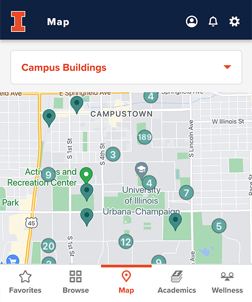
Map

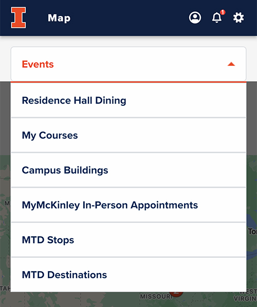
The Map feature in the Illinois app harnesses the power of Google Maps to provide an intuitive aerial view of the campus. With customizable layers, you can pinpoint and navigate to university events, courses, MTD stops, and residential dining locations.
Using the Map
- Go to Map on the bottom navigational bar and use the drop-down menus to change the Map layer.
2. Tap any pinpointed location on the map to view details.
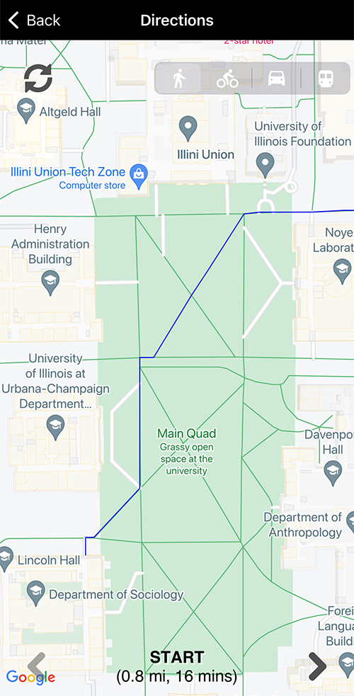
3. Tap Directions to view step-by-step navigational directions to that location from your location.
4. Use the icons in the top right corner to select Walking, Cycling, Car, or Transit (MTD) directions.